In this how to we are going to look how we can configure our flight plan manually in our navigation system from our ICON A5. Our ICON A5 is already located on the runway which is from the type grass.
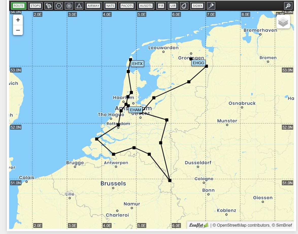
Today we will fly from Texel Airport (EHTX) to Eelde Airport (EHGG) which will be a straight line if you would not use any waypoints. In this case we will use simbrief.com as our flight planning tool. It will require you to register before you can create flight plans. We will use it to configure a roundtrip in the Netherlands. The waypoints which we are going to use in the flight plan are:
- EHTX
- HDR
- SPY
- OA
- AMS
- CH
- RTM
- HSD
- WDT
- GZR
- EHV
- MAS
- VKL
- DLN
- EHHV
- FRO
- EHHO
- EHST
- EHGG
Below you can see an image of our route

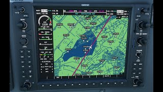
Once our flight plan is set we can put the flight plan in our Garmin system and after all checks are completed take off.

